Cold War Challenges
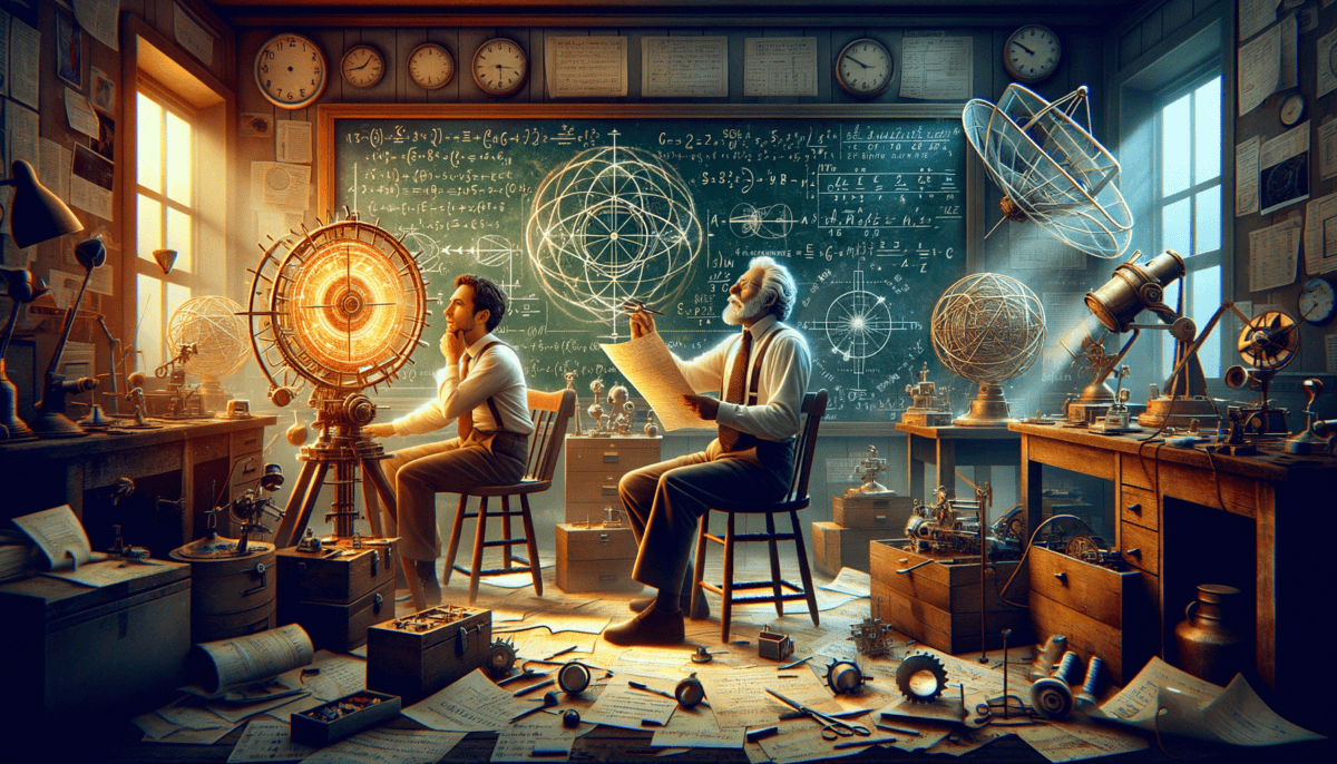
On a chilly morning in 1957, Dr. James Wilson walked into his office at the Naval Research Laboratory. He had a big problem to solve. The U.S. Navy needed a better way to find their way around the world.
“We need something better,” Dr. Wilson said to his friend Sarah, another scientist. “Our submarines can’t see the stars when they’re underwater. And radio signals don’t always reach them.”
Sarah nodded. “You’re right, James. And with the Space Race starting, we need to think bigger!”
The Space Race was a special time. The United States and the Soviet Union were both trying to be the best at space science. Everyone was thinking about satellites and rockets!
“What if we could put something in space to help our ships and submarines?” Dr. Wilson wondered out loud.
Around them, the laboratory buzzed with activity. Scientists rushed back and forth with papers and drawings. They were all trying to solve the same problem: How could they help ships and submarines know exactly where they were?
Sarah picked up a globe from Dr. Wilson’s desk. She spun it slowly. “Look at all this ocean,” she said. “Our ships need to know where they are in all this water!”
A Big Idea Begins
That’s when Dr. Wilson had an exciting thought. What if they could use satellites to send signals from space? These signals could tell ships exactly where they were!
The idea seemed magical. Imagine tiny beacons in space, helping everyone find their way! But many people thought it was impossible.
• Make satellites that could send perfect signals
• Build special radios to catch these signals
• Create maps that worked with the signals
“People might think we’re crazy,” Dr. Wilson told Sarah. “But I believe we can do this!”
At home that night, Dr. Wilson looked up at the stars. He imagined a network of satellites circling Earth, helping ships and submarines find their way. It seemed like a dream from a science fiction story. But sometimes, the biggest dreams lead to the most amazing inventions! ⭐
The next morning, Dr. Wilson and Sarah started making plans. They drew pictures of satellites and wrote down their ideas. Other scientists joined them. Together, they were starting something that would change the world forever.
Little did they know, their work would one day help people find their way using something called GPS. But first, they had many problems to solve and discoveries to make! ️
The Satellite Spark
️ In early 1958, two brilliant scientists named Ivan Getting and Roger Easton sat in a bright room filled with maps and drawings. They had a special meeting at the Naval Research Laboratory.
“Look at this!” Ivan said, pointing to a drawing. “If we put satellites up high enough, they can see huge parts of Earth at once!”
Roger nodded excitedly. “And if we use more than one satellite, we can find exactly where something is!”
Making the First Tests
The scientists started doing tests with small rockets. They wanted to learn how signals moved through space. Sometimes the tests worked great. Other times, things went wrong.
“Each mistake teaches us something new,” Roger told his team. “That’s how we learn!”
One day, they had a big success! They sent a signal to a rocket and it bounced back perfectly. Everyone in the lab cheered!
Solving Space Puzzles
But they had some tricky problems to fix:
• Making signals strong enough to reach Earth
• Keeping satellites in the right spots
• Making sure signals were clear and accurate
“It’s like playing catch with invisible balls,” Ivan explained to visitors. “But these balls are special radio signals that bounce between space and Earth!”
The team worked hard every day. They built special tools to catch the signals. They made better satellites that could stay in space longer. Each day brought new discoveries!
A Growing Dream
More scientists joined the team. They brought new ideas and helped solve problems. Some people thought about how to make the signals stronger. Others figured out how to make better maps.
One young scientist named Maria had a clever idea. “What if we use special clocks in the satellites?” she asked. “Really exact clocks could help make our signals better!”
Everyone got excited about Maria’s idea. They started planning how to make these special space clocks. ⏰
At night, the scientists would sometimes go outside and look up at the stars. Now they could see tiny moving lights – satellites they had helped build! It made them feel proud and happy.
The dream of helping ships find their way was getting bigger. Soon, they would make discoveries that would change everything. But first, they needed to solve their biggest puzzle yet – how to make all these pieces work together perfectly!
Cracking the Navigation Code
️ One morning in 1960, Dr. James Barnes walked into his laboratory with a special box. Inside was something amazing – an atomic clock! It was the most exact clock ever made.
“This clock will help us find exactly where things are on Earth,” Dr. Barnes told his team with a big smile. Everyone gathered around to see it.
The Magic of Perfect Timing
Sarah, a young scientist, raised her hand. “But how can a clock help us find places?”
“Great question!” Dr. Barnes replied. “Watch this!” He drew a simple picture on the board:
• Satellites send signals down to Earth
• The signals travel at the speed of light
• By knowing the exact time, we can tell how far away things are
The First Big Test
The team put their atomic clock in a test satellite. They were nervous but excited!
“Three… two… one… signal sent!” called out Tom, the control room operator.
Everyone held their breath. Would it work?
“It’s working! The signals are perfect!” shouted Sarah, jumping up and down.
Solving the Puzzle
But they still had work to do. They needed to figure out how to use three satellites at once. It was like a giant puzzle in the sky! ✨
Dr. Barnes drew more pictures. “If we put satellites here, here, and here,” he pointed, “we can find any spot on Earth!”
The team worked day and night. They wrote special math problems. They made new computer programs. Sometimes things went wrong, but they never gave up.
The Big Success
Finally, after months of hard work, they were ready for the big test. They put three satellites in space, each with its own atomic clock.
“Look at this!” Sarah called out one day. On her screen was a tiny dot. It showed exactly where their building was – right down to the foot!
Everyone cheered! They had done it! They could now find any place on Earth using signals from space.
“This is just the beginning,” Dr. Barnes said proudly. “Soon, we’ll be able to help ships, planes, and maybe even regular people find their way anywhere in the world!”
The team celebrated their success that night. As they looked up at the stars, they knew they had helped create something that would change the world forever. But an even bigger challenge was coming – how to turn their invention into something everyone could use!
A New Era Begins
The year was 1973, and big changes were happening! The United States Air Force was ready to start putting GPS satellites in space. But first, they had to keep it super secret.
“We need to launch these satellites perfectly,” said Colonel Maria Thompson. She was in charge of making sure everything worked just right.
The First Launch
On a warm morning in 1978, everyone gathered at the launch site. The first GPS satellite was ready to go to space!
“Ten… nine… eight…” the countdown began.
“Look at it go!” shouted Tommy, one of the young engineers. The rocket zoomed up into the bright blue sky.
The first satellite worked great! But they needed more – lots more.
Building the Space Network
Over the next few years, more satellites went up into space. Each one had to be in just the right spot.
“It’s like putting together a giant puzzle in the sky,” explained Dr. Chen to his team. “Each piece has to be perfect!”
• Put up 24 satellites
• Space them out perfectly
• Make sure they all work together
Making It Better and Better
The team kept working to make GPS better. They made the signals stronger. They made the satellites last longer. ️
“Every day we learn something new,” said Sarah, now leading her own team. “And every day GPS gets a little bit better!”
The military started using GPS for important jobs:
– Helping ships find their way
– Guiding planes safely ✈️
– Finding exact locations on maps ️
A Big Decision
One day in 1983, something big happened. A plane got lost and went into Soviet space by mistake. It was very scary!
“We need to share GPS with everyone,” said President Reagan. “It can help keep people safe.”
This was huge news! But the military had to figure out how to share GPS while still keeping some parts secret.
The Future Takes Shape
Colonel Thompson looked at her team. “We’re going to make two kinds of GPS signals. One for the military, and one for everyone else!”
The engineers worked hard to make this happen. They knew they were part of something that would help people all over the world.
As more satellites went up into space, GPS got stronger and better. But no one knew just how much it would change the world. A new chapter was about to begin – one where regular people would use GPS in ways no one had ever dreamed of! ⭐
A World of New Possibilities
The year was 1984, and something amazing was happening! GPS was about to change from a military secret to something everyone could use.
Making GPS for Everyone
“We need to make GPS easy to use,” said Sarah, who was now leading the civilian GPS team. “My grandmother should be able to use it!”
The engineers faced some fun challenges:
• Making GPS work in small devices
• Creating simple maps
• Making it work in cars and phones
• Keeping it affordable for everyone
The First Big Tests
In 1985, the first company made a GPS device for cars. It was as big as a lunch box!
“Who would want such a big thing in their car?” laughed Tommy. Little did he know what was coming!
Breaking Through
More companies started making GPS devices. Each one was better than the last! They got:
– Smaller
– Cheaper
– Easier to use ✨
Helping People Everywhere
GPS started helping in ways no one expected:
“Look!” said Maria, now retired from the military. “Farmers are using GPS to plant crops. Buses use it to stay on time. Even pizza delivery cars use it!”
Making the World Safer
In 1991, something important happened. GPS helped save lives during a big desert storm.
“This is why we made GPS,” smiled Dr. Chen. “To help keep people safe and find their way home.”
A New Adventure Begins
By the mid-1990s, GPS was everywhere! Scientists were excited about what might come next.
“Remember when we first started?” Tommy asked Sarah. “We never thought GPS would do all this!”
Sarah looked at a tiny GPS chip in her hand. “And this is just the beginning,” she said with a big smile. “Just wait until you see what’s next!” ⭐
The GPS story was far from over. New ideas and inventions were coming that would make GPS even more amazing. The next big chapter in the GPS story was about to unfold!
A Digital World United
The sun rose on a new millennium, and GPS had become a tiny helper in millions of pockets! What started as a military tool now touched nearly every part of life.
Tiny Chips, Big Changes
Sarah smiled as she held up her phone. “Look how far we’ve come! The GPS that once filled a room now fits in here.”
Tommy, now teaching young scientists, nodded. “And it does so much more than just show the way!”
“GPS helps farmers grow food, pilots fly planes, and kids find Pokemon!” laughed Maria. “It’s like magic in our hands!” ✨
Helping Earth and Space
Scientists found new ways to use GPS every day:
• Warning people about storms
• Watching volcanoes
• Helping save animals
• Finding lost treasures
• Guiding robots on Mars!
Making Life Better
“Remember when we worried if anyone would use GPS?” Tommy asked. “Now the whole world depends on it!”
Looking to Tomorrow
New ideas keep making GPS better:
“Soon,” said Dr. Chen’s daughter, now a scientist herself, “GPS will be so exact, it can guide robots smaller than a hair!”
Young inventors dream up new ways to use GPS every day. From helping blind people walk safely to finding lost pets, the ideas never stop!
A Gift to the World
Sarah gathered her old team for a special celebration. “We didn’t just build a navigation system,” she said. “We helped build a connected world.”
As the sun set on their celebration, Tommy looked up at the stars. “Those satellites up there do more than send signals,” he smiled. “They remind us that when we work together, nothing is impossible!”
The GPS pioneers had turned their dream into reality. Their invention continues to guide new adventures and possibilities, lighting the way for future generations to explore, discover, and connect.
And somewhere up there, those faithful satellites keep spinning, sending their helpful signals to everyone below, proving that the biggest dreams often come true in ways we never expect.


